Zhangzhou Comprehensive Ocean Management Information System
Project Overview
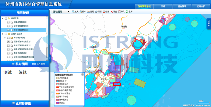
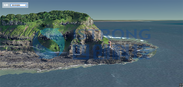
The system mainly targets ocean management department leaders and staff. It compiles and manages existing basic data on the "five seas" (bays, coasts, beaches, seawater, and islands), ocean functional zoning, island protection plans, ocean environmental protection plans, and regional sea use plans. It solves various issues of data dispersion and information mismatch, achieves three-dimensional visualization of islands through the use of drone oblique photography and 3D modeling, and integrates real-time video monitoring. It realizes the digitization, three-dimensionality, and imaging display of ocean and island information, comprehensively improving the scientific management level of island management and providing a basis for island protection and development, as well as ecological restoration and construction.
Product Functions
1Comprehensive and intuitive control of ocean spatial resource distribution

2Fast analysis of compliance with ocean use regulations

3Three-dimensional construction and rendering of islands

