Smart Eye - River and Lake Intelligent Identification System V2.0
The application of remote sensing technology provides a new approach to understanding the spatiotemporal dynamic evolution of rivers and lakes across the region. Istrong Technology independently developed the " Smart Eye " intelligent river and lake supervision system. It uses remote sensing image identification/inversion technology, focusing on regulating the "basin" that contains water, as well as the water within the "basin", detecting illegal actions, and collecting evidence. Then, through time sequence analysis, the implementation of regulatory issues is monitored, ultimately aiding in the long-term management and protection of rivers and lakes.Recently, the Ministry of Water Resources formulated the "2021 River and Lake Management Work Points," emphasizing the advancement of smart river and lake construction, enriching and perfecting supervision methods for "four chaos" issues, fully utilizing satellite remote sensing, drones, APPs, etc., to improve the informatization level of river and lake management.
The application of remote sensing technology provides a new approach to understand the spatiotemporal dynamic evolution of rivers and lakes across the region. Istrong Technology independently developed the " Smart Eye " intelligent river and lake supervision system. It uses remote sensing image identification/inversion technology, focusing on regulating the "basin" that contains water, as well as the water within the "basin", detecting illegal actions and collecting evidence. Then, through time sequence analysis, the implementation of regulatory issues is monitored, ultimately aiding in the long-term management and protection of rivers and lakes.
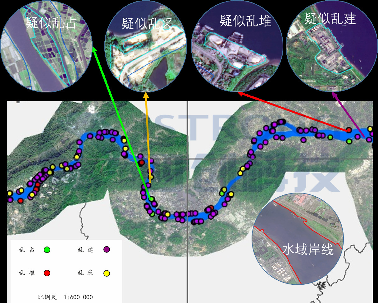
Regulate the "basin" that contains water
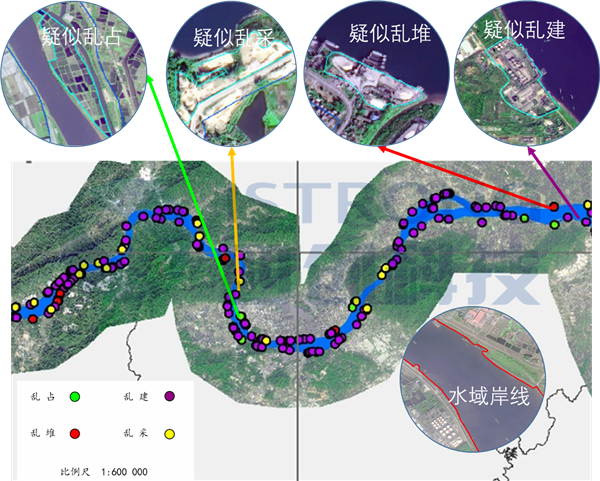
▲Address the four issues + Identify the water area shoreline
Protect the water within the "basin"

▲Remote sensing water quality inversion
Note: Invertible elements include: chlorophyll a, suspended matter concentration, water transparency, total nitrogen, total phosphorus, etc.
Feature Highlights
Remote sensing monitoring is not restricted by terrain, climate, or observation
Supervise the spatiotemporal dynamic evolution of rivers, lakes, and canals across the region
Broad coverage, the large amount of information, and relatively low overall cost
Benchmark Case
West River Basin Dynamic River and Lake Supervision Platform
▼
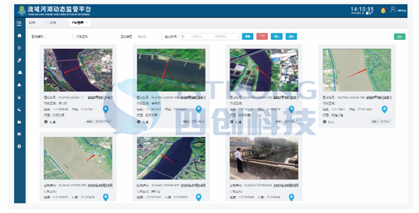
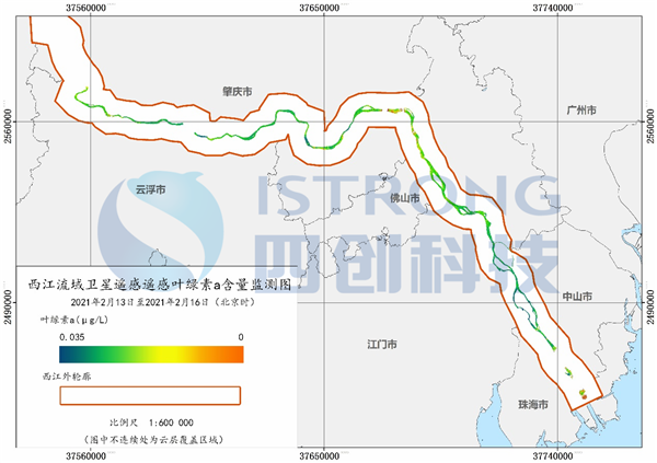
▲Satellite remote sensing-assisted four intelligent identification + water quality inversion
Fujian Province Unified Water Environment Monitoring and Management Platform
▼
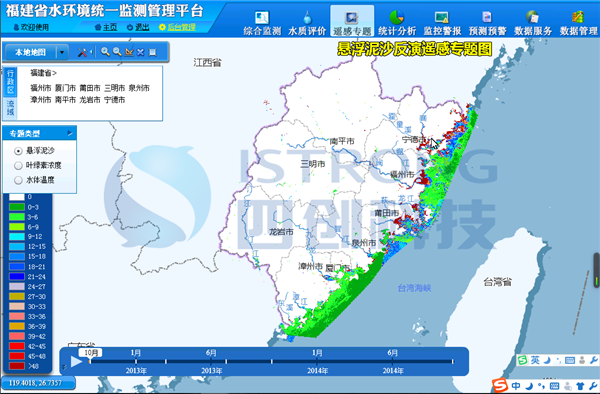
▲Satellite remote sensing-assisted water quality inversion
In the future, Istrong Technology will fully utilize advanced technologies such as the Internet of Things, geographic information, and intelligent perception to assist river and lake management work, deeply promote the normalization and standardization of clearing the "four chaos" in rivers and lakes, solidly carry out comprehensive rectification of river sand mining, strengthen daily inspections and protection of rivers and lakes, and strive to create healthy, beautiful, and happy rivers and lakes, celebrating the 100th anniversary of the founding of the Party with outstanding achievements.
