Comprehensive Meteorological Disaster Prevention and Reduction Platform
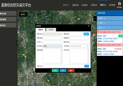
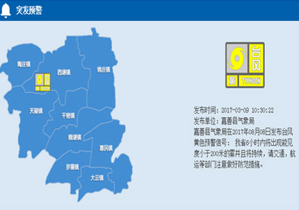
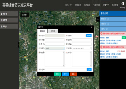
The Comprehensive Meteorological Disaster Prevention and Reduction Platform provides access and sharing of various basic information, real-time monitoring data, and disaster information. Utilizing existing resources such as data, hardware, software, networks, and release methods, it achieves the horizontal integration of data resources of various members in local disaster prevention and reduction. The platform includes multiple functions such as information sharing across multiple departments, refined monitoring, forecasting and warning of meteorological disasters, grassroots disaster prevention and reduction information reporting, disaster prevention and reduction information management, and approval and release of emergency public event warning information, providing technical support and decision-making references for local party and government leaders in meteorological disaster prevention and reduction.Through the use of GIS technology, the Comprehensive Meteorological Disaster Prevention and Reduction Platform achieves the comprehensive display of monitoring station information from departments such as meteorology, hydrology, environment, and agriculture, as well as high-precision maps, water conservancy facilities, transportation facilities, and population data, building a "basic information map". It also achieves the comprehensive display of real-time monitoring data and relevant statistical data from departments such as meteorology, hydrology, and environment, building a "real-time monitoring map". It further achieves the comprehensive display of disaster prevention and reduction systems at all levels of the county and social organizations, making it easy for party and government leaders to dynamically grasp the situation of disaster prevention and reduction personnel throughout the county, building a "decision-making command map".


