About ISTRONG


Successful Cases
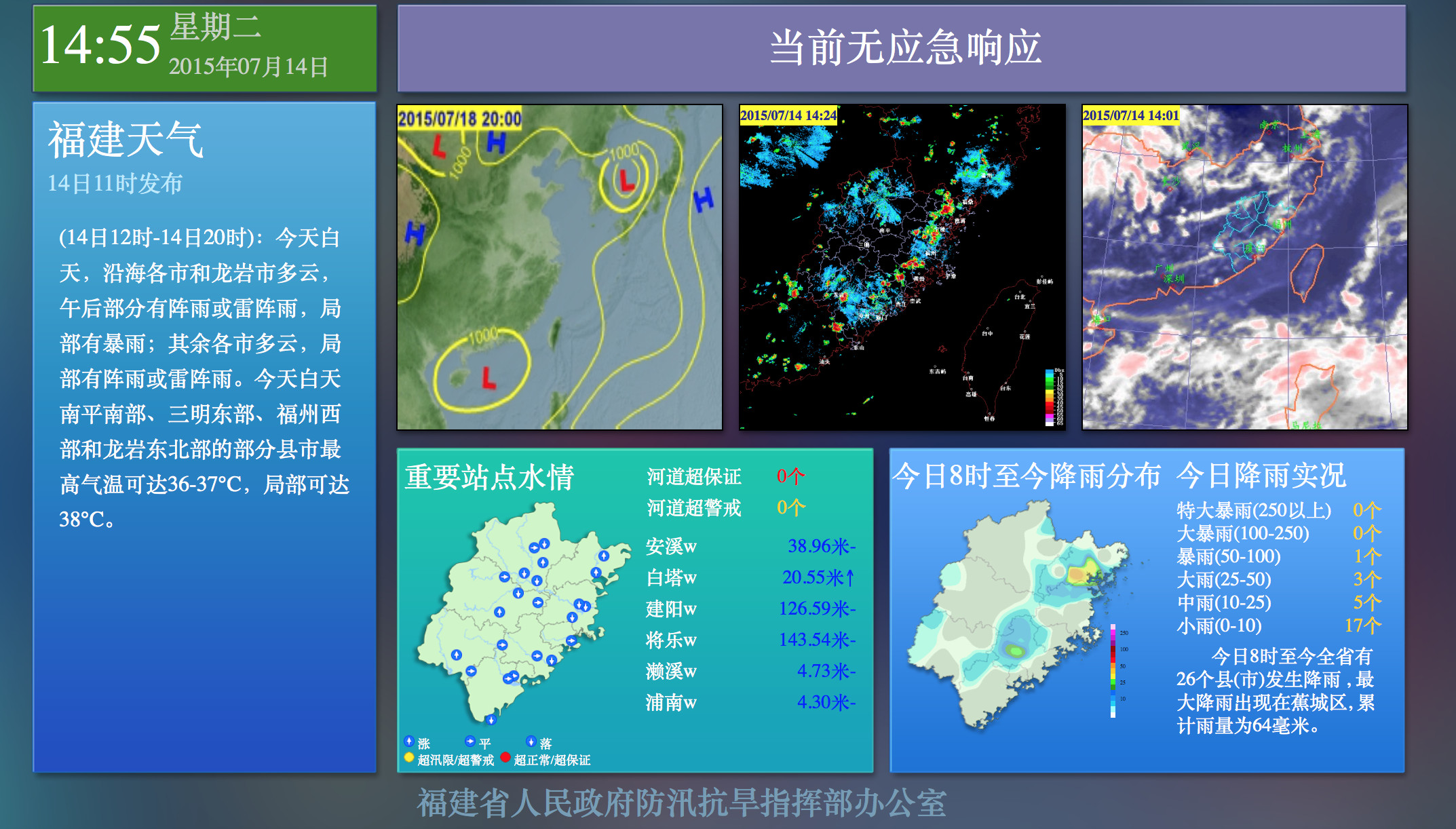
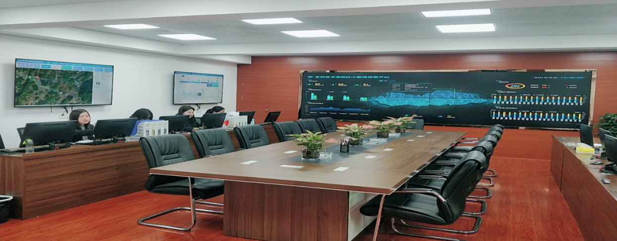
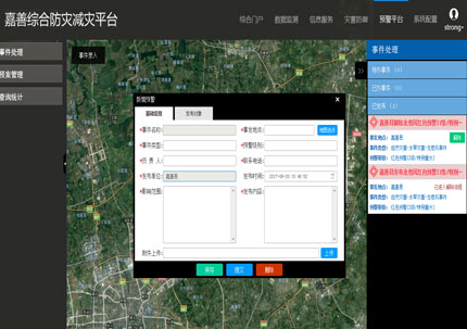
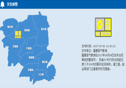
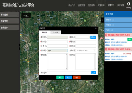
· Emergency Management
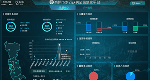
· Smart Water Conservancy
· Smart Water Services
· Flood and Drought Defense
· Hydrology and Water Resources
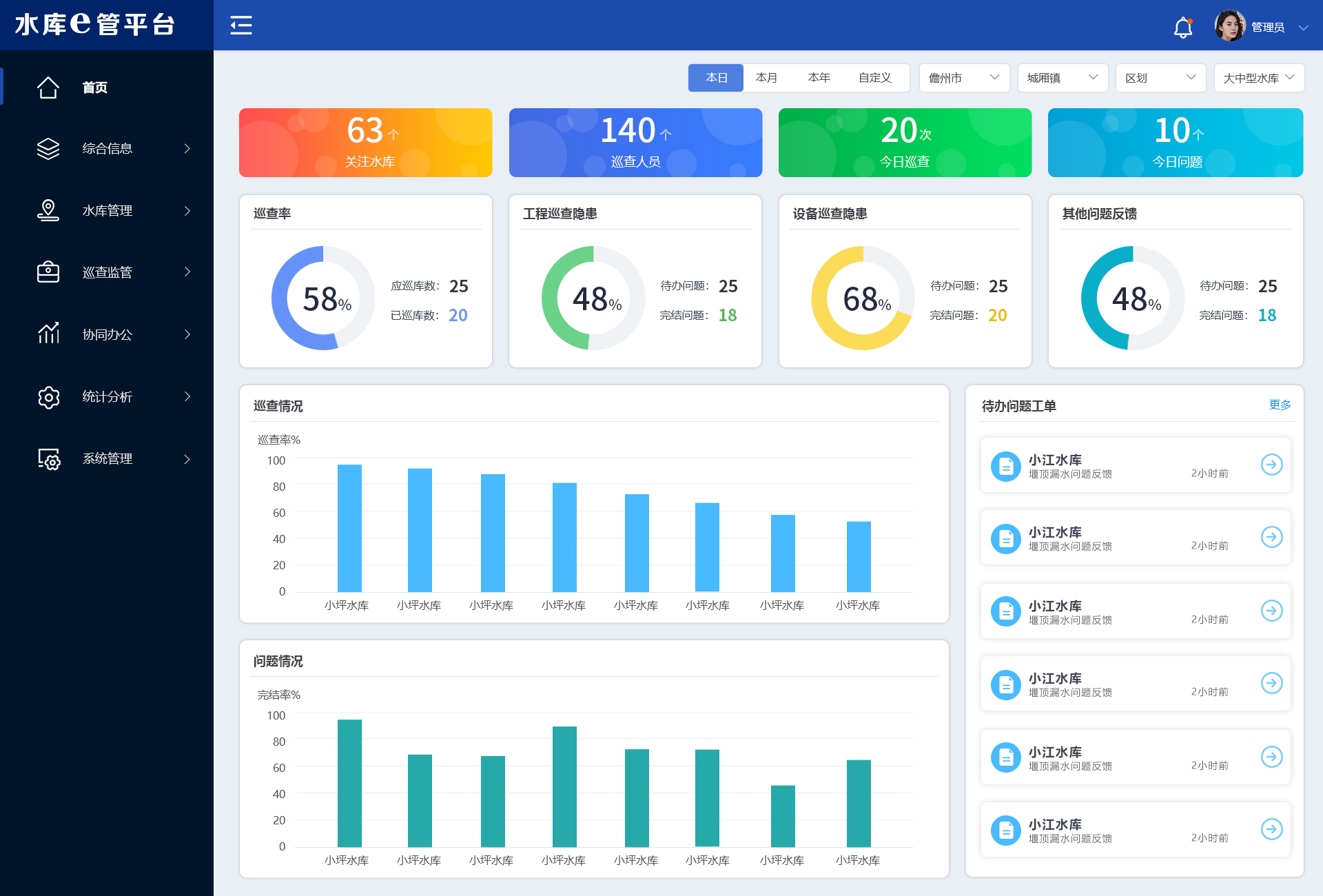
· Reservoir Standardization


 Home
Home
 WeChat
 400-620-1615


 Headquarters Address:ISTRONG Technology Building, Xingwang Science and Technology Park, No. 9 Gaoxin Avenue, High-tech Zone, Fuzhou
 Phone Number: +86 591-22850288
  Fax: +86 591-22850299
 E-Mail:strong@istrong.cn
 闽公网安备 35012102500164号